Nested Styles with InDesign
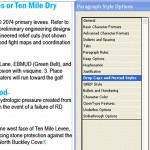
Nested Styles in InDesign is a pretty cool feature. Using nested styles, you can tell InDesign to automatically apply specific styling upto or until a certain character (and that includes hidden characters) then another style up to the next character and so on. So instead of highlighting the first line, enlarging the type size, changing […]
Data Driven Pages
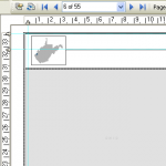
I recently upgraded to ArcGIS 10 and so far I like it a lot, for the most part. One of the features I like the most, that has already made my life easier, is the data driven pages feature. Instead of using extensions, whether free (ds mapbook) or paid (map logic), fairly robust mapbooking can […]
Map Typography – Titles
An easily overlooked part of building maps is typography. I’ll continue a series of articles that will help you choose and place type on your maps (look for “Map Typography” in the article title). This time I’ll cover some basics and pointers in creating nice, effective titles and title blocks in this article. Making typeface […]
Optimize a PDF
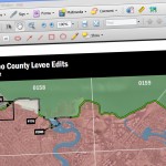
Ever notice that ArcMap tends to export extremely high file sized PDFs? If I need to email a map and the PDF is just over 10MB often I will reduce the file size with Acrobat’s PDF Optimizer. This is especially true when there is background imagery. Changing export settings can help reduce the final file […]
Anatomy of an Executive Summary
I love InDesign. With some creativity, you can do some really cool things with InDesign. You think DS Mapbook or Map Logic Layout Manager are good? InDesign blows them away. But when you combine InDesign, ESRI ArcMap, Illustrator, Excel, Python, ArcCatalog, Word and Photoshop you get something exciting. Look out for the Anatomy of the […]


