LocationCon 2017
Download my slides from LocationCon in Oakland, CA 5/24/2017 at the link below. Workflow and Design of an Emergency Flood Response Mapbook [360MB] More content to come…
Point with label & auxiliary label in ArcMap

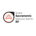
This is a walk-through on how to create an auto label like below in ArcMap. I’m using maplex on ArcGIS 10.3. A layer package corresponding to this can be downloaded here. I’m working with some fake levee breach data here with the goal to fit the breach number label onto a specific part of the custom […]
Building a logo with arcmap

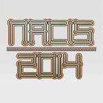
Here’s how I built a logo for my presentation at NACIS last year using only arcmap! I wanted to demonstrate that design can be done in ArcMap, this was my inspiration to design an arbitrary logo, my cheapo nylon yamaha, which I love the rosette on: Here’s a video of the process: And here’s a […]
Symbol on line in arcmap

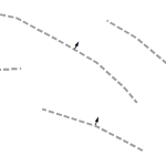
Yesterday, I needed to add an arrow onto the middle of a line, perpendicular to that line. In ArcMap, this can’t be done with line decorations but it can be done via the line labels. I can’t really show what I was working on but the idea is shown below. To set this up, turn […]
Labeling photo bearings

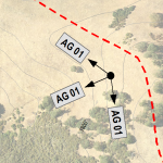
The problem – portray photo point locations, the compass bearing on which the picture was taken, and label the photo ID. The tools – ArcMap 10.1 and maplex. This turned out to be a fun challenge. The data used here are field collected photo points with attributes for photo ID and photo bearing in the […]


