
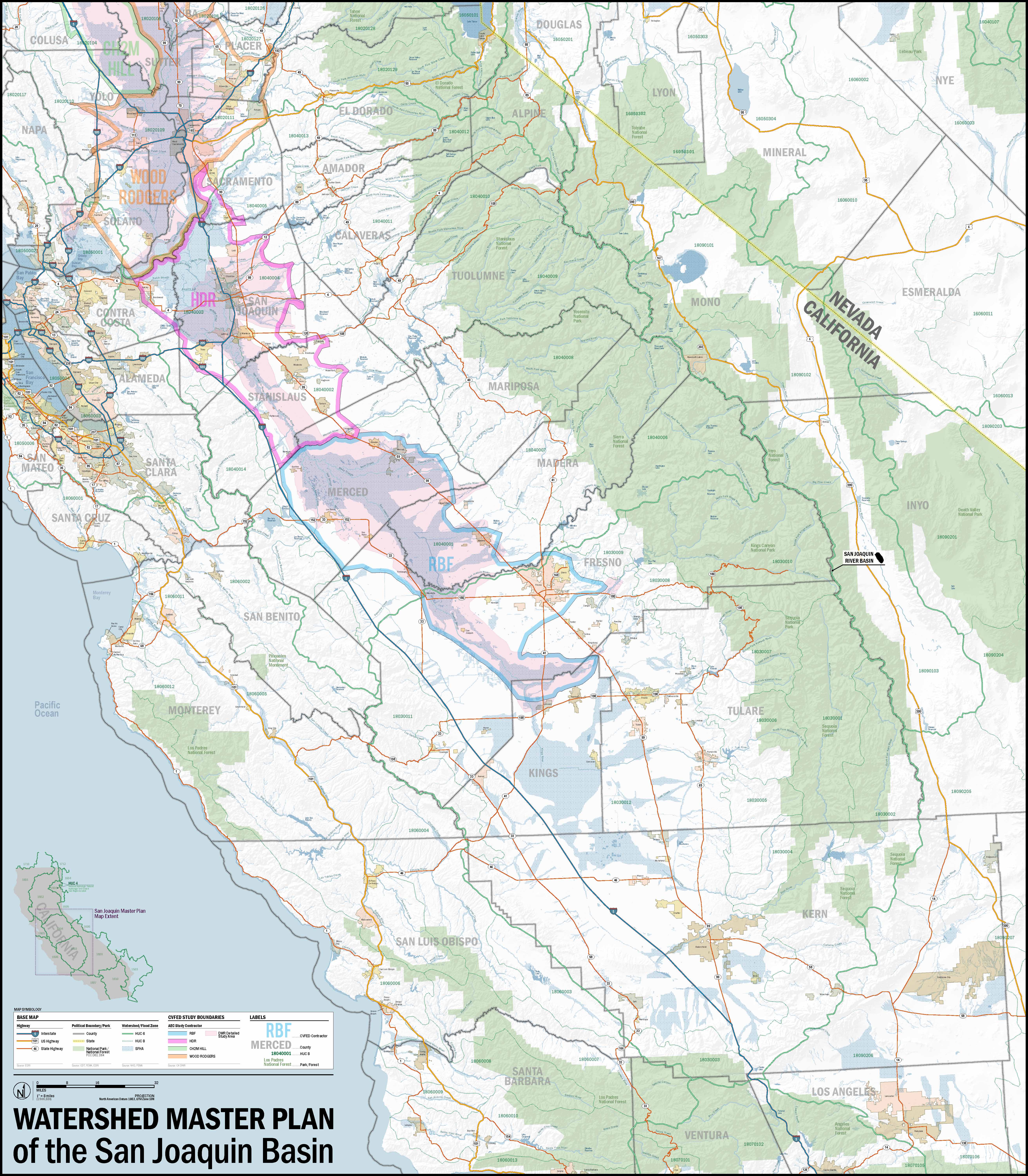
 A study of the spatial relationship of several contracted water study territories this map serves as a useful tool for project managers reviewing and writing projects scope. The map is set above general basemap information is part of a series covering the Sacramento and San Joaquin River watersheds.
Leave a Reply
Print, 35x40"