LocationCon 2017
Download my slides from LocationCon in Oakland, CA 5/24/2017 at the link below. Workflow and Design of an Emergency Flood Response Mapbook [360MB] More content to come…
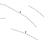
Symbol on line in arcmap

Yesterday, I needed to add an arrow onto the middle of a line, perpendicular to that line. In ArcMap, this can’t be done with line decorations but it can be done via the line labels. I can’t really show what I was working on but the idea is shown below. To set this up, turn […]
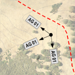
Labeling photo bearings

The problem – portray photo point locations, the compass bearing on which the picture was taken, and label the photo ID. The tools – ArcMap 10.1 and maplex. This turned out to be a fun challenge. The data used here are field collected photo points with attributes for photo ID and photo bearing in the […]
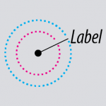
ArcMap leader tolerance illustrated

One concept in ArcMap that took forever to stick in my head was setting up leader tolerance for dynamic labels. It’s hard to connect the two conceptually because the settings directly correspond but are about a dozen mouse-clicks apart in the UI. I’m on ArcMap 10.1, using maplex in this demo. To add a leader […]
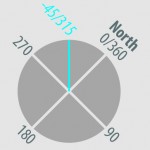
Calculating index rotation angle

You’ve built your index layer and it might look something like this. If you’ve rotated these features manually and want to used them to control page rotation in data driven pages, you’ll need a field containing the page rotation value. This layer already has an angle field that I’m going to use to demonstrate how […]


