David Rumsey Map Collection Viewing
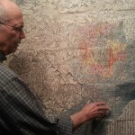
Recently, I had the opportunity to view much of David Rumsey’s map collection at his house in San Francisco. As an attendee of State of the Map, Open Street Map’s (OSM) annual conference, I was invited to this special viewing and couldn’t pass on the chance to meet David and also see and touch a […]
Text Masking Gradients
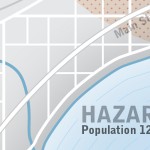
I’d like to share a masking technique that I recently used in Illustrator (CS4). This technique involves masking lines around text labels that are drawn over a water body with a gradient effect fill. Notice in the image below that the thin isoline effect is masked around the labels yet the shoreline gradient effect is […]
Some Tips on Map Layout & Exporting a Map to Illustrator
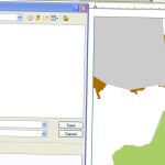
If you’d like to finish a map with Adobe Illustrator, that you started in ArcMap, there are a few quirks and best practices you should know about when exporting that map from ArcMap. If you stick with these guidelines/tips, it will make your life a little easier when you get into the Illustrator workspace. First, […]
Fusion Table InfoWindow
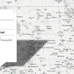
I set this web map up to communicate some personnel stats for planning staff. The client didn’t want a static map. Using a fusion table/map is a fairly easy way to set up a nice looking interactive map. One of the cool features of this one is the dynamic charting in the infowindow for each […]
Map Typography – Titles

An easily overlooked part of building maps is typography. I’ll continue a series of articles that will help you choose and place type on your maps (look for “Map Typography” in the article title). This time I’ll cover some basics and pointers in creating nice, effective titles and title blocks in this article. Making typeface […]


