Python to batch generate QR codes

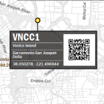
This is an overview of a script I developed utilizing python urllib, google’s chart api, and NOAA’s live stream monitoring charts. I created this proof of concept for a paper map that includes some graphic labels for stream monitoring stations, including a QR code that can be scanned to bring up the live chart for the stream […]
Export map layers to gdb with python
Here’s a quick one. I have used this script many times as part of a data inventory workflow. It’s also been handy to start project databases with data from a variety of sources – so I can pluck data out of my source GIS databases into specific project databases. When used in conjunction with some […]
Grid of measured points with python

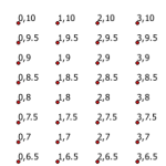
I’ve needed to create a measured grid of points for a variety of reasons in my GIS career. Here’s a flexible bit of code to create a grid of points spanning a vertical and horizontal range, at a specific interval for each – defined in the script. This method also allows any coordinate system and […]
Export MXDs in all subdirectories

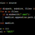
This is an answer to the question in my post on batch exporting mxd’s in a folder. James asked about exporting all mxds in all subdirectories of a root folder. Thanks James for distracting me from my work this afternoon to solve this :). Below is the code to accomplish this. The first loop populates […]


