Symbol on line in arcmap
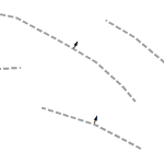
Yesterday, I needed to add an arrow onto the middle of a line, perpendicular to that line. In ArcMap, this can’t be done with line decorations but it can be done via the line labels. I can’t really show what I was working on but the idea is shown below. To set this up, turn […]
David Rumsey Map Collection Viewing
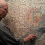
Recently, I had the opportunity to view much of David Rumsey’s map collection at his house in San Francisco. As an attendee of State of the Map, Open Street Map’s (OSM) annual conference, I was invited to this special viewing and couldn’t pass on the chance to meet David and also see and touch a […]
Integrate Symbol and Label
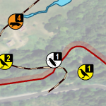
This technique saves some space and brings a refined look to the symbology in your maps. Integrating a feature’s label into its symbol makes for a professional style that should impress your client. Begin by building a symbol that will accommodate a label. In this case, I have a single digit number, which is basically […]
A Multivariate Line Style
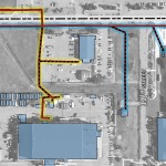
Wanted to share some symbology I developed for an electric utilities map recently. There were multiple variables to portray over aerial imagery. The first thing I did for this map was to adjust the imagery to black and white and tone down the contrast to really let the lines pop, then I started working on […]
Illuminated Point Symbology
This will be a quick one, I’ll overview how I created the glowing/heat effect on the GISP location points in my GISP map. The points represent cities where there is a GISP certification. These points also have an attribute for the number of GISP’s in that city but I will not be representing that information […]


